|
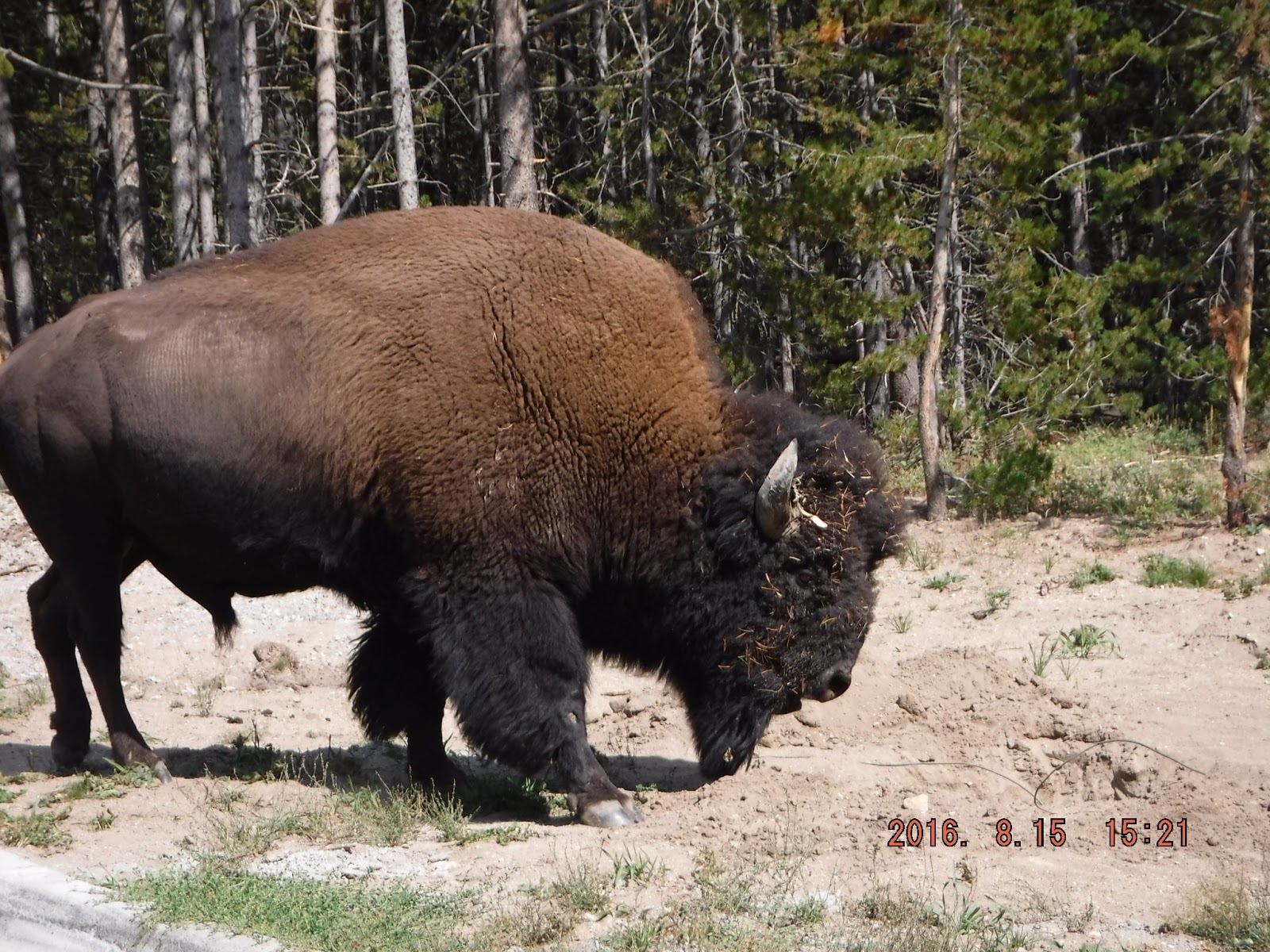
| Downtown Vernal UT |

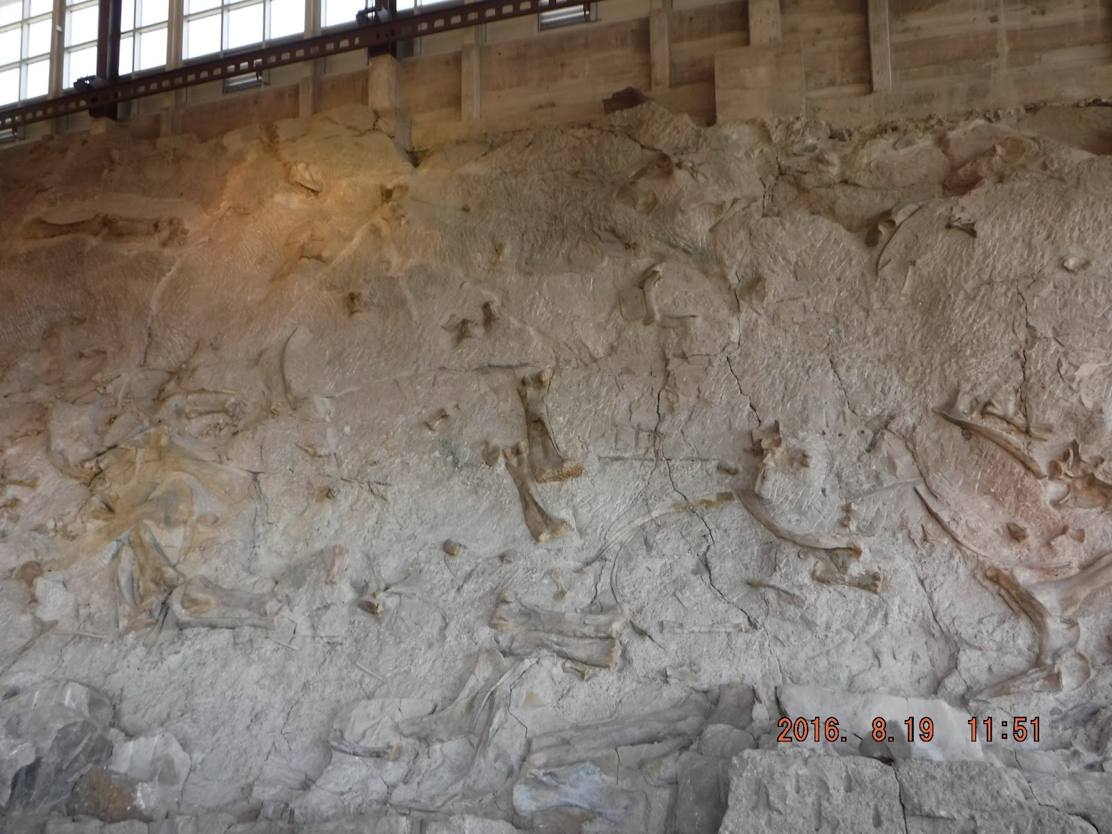
Dinosaur Quarry

On to Heber City UT outside Salt Lake City. A friend from my Sprint days, Molly Stephens, and her husband Mark, live in Park City. We met them for lunch one day.
A second day at Heber, we drove down to Salt Lake City to see the Salt Lake City Mormon Temple. A guide told me it took 40 years to complete the temple. Would compete with some of the cathedrals I saw in Europe. You can tell the scale by the photos that a nice person in the square took of me on the front steps.


Salt Lake City is a very well planned and efficient city. Their public transportation is a trolley system; it's clean, quiet, and fast. Would that other cities take a look at it.
We left Heber City bound for Marysvale UT to scout off-road trails for next summer's travels. Not much there but we did get some good information.
Next stop was Panguitch UT, also to scout trails. but we were greeted with a funnel cloud the day we checked in. The locals were all aflutter as this type of storm is rare in this area. I took the photo below from the RV park.

Panguitch tornado
We drove up to Richfield UT to talk with an ATV dealer who has a good reputation in the area and he sent us to Fish Lake for lunch. Very pretty area. I have been on a quest for a new visor but none of the places we've been had visors, only hats. YEAH!!! Bowery Lodge at Fish Lake had a visor!